 /01
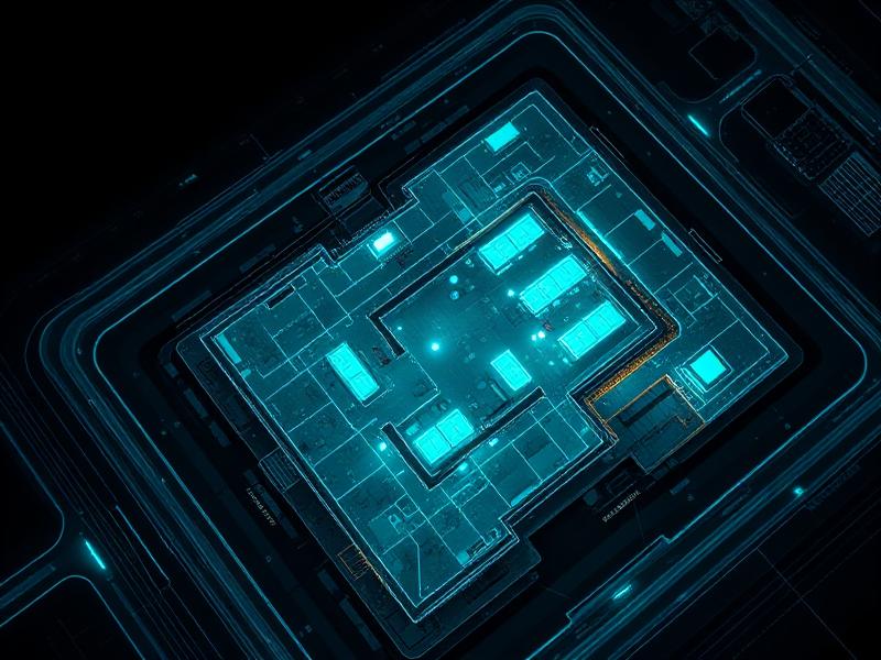
/01Aerial Drone Imaging & Mapping
High-resolution orthomosaics, topographic surveys, and continuous site monitoring from above.
High-precision 3D scanning, LiDAR, photogrammetry, and aerial imaging tailored for engineering, architecture, and real estate.
// Core Services
From a single artifact to a sprawling estate, we deploy the right sensor stack for the job — and deliver data your engineers can trust.
/01High-resolution orthomosaics, topographic surveys, and continuous site monitoring from above.
 /02
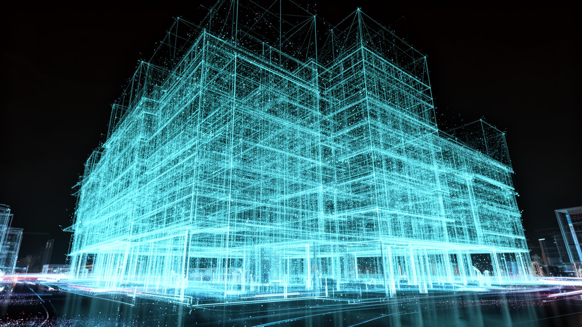
/02Transform photos and drone footage into millimetre-accurate textured 3D models.
 /03
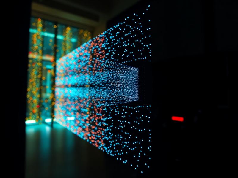
/03Capture everything from small objects to full buildings and offices as dense point clouds.
 /04
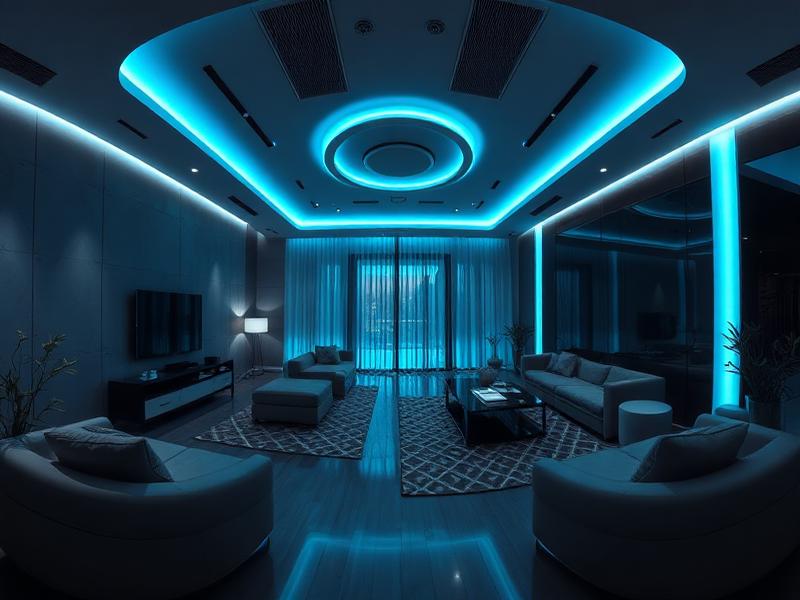
/04Immersive walkthroughs for real estate, commercial spaces, and as-built documentation.
// Why Vertex3D
We don't just hand you files — we hand you decision-ready data. Engineered workflows, documented accuracy, and clean handoffs to your BIM, CAD, or GIS stack.
Led by an electrical engineer — every scan is calibrated, geo-referenced, and scaled with metrology-grade rigor.
From a single microscopic artifact to multi-acre estates and high-rise façades — one team, every scale.
Advanced UAVs, terrestrial LiDAR, and premium photogrammetry pipelines tuned for production-ready deliverables.
Tell us about your project. We'll come back with a scope, accuracy spec, and a quote.
Request a Quote